Trusted by site owners since 2009
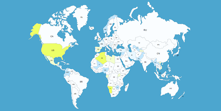
SVG-based, fully responsive maps for the world, individual US states, and 15+ countries — customized visually, no coding required.
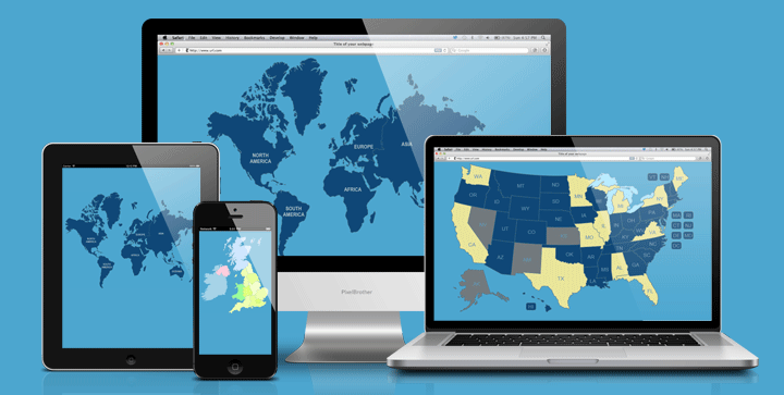
WP Map Plugins builds lightweight, SVG-based map plugins for WordPress — an alternative to static images and third-party embeds like Google Maps. Because every region is a real vector shape rather than a picture, each map stays sharp on any screen, loads fast, and behaves the same way on mobile as it does on desktop. Real estate agents use them to map property portfolios by state or neighborhood, travel bloggers plot itineraries and destinations, and local businesses use state and country maps to target regional search terms.
Because a map runs entirely on your own server, there's no third-party tracking script to disclose in your cookie policy. Every plugin includes a visual editor, so you can set colors, links, and tooltips for each region without touching code.
Choose a world map, continent, individual country, or one of 50 US state maps to match your project.
Upload it to WordPress and activate it — no manual embedding or custom code required.
Use the built-in visual editor to set colors, add clickable links, and write tooltip text for every region.
Our most popular interactive map plugins, installed on thousands of WordPress sites.
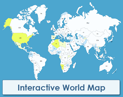
Every country on the world map as its own clickable, customizable region.
View Plugin →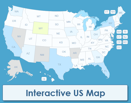
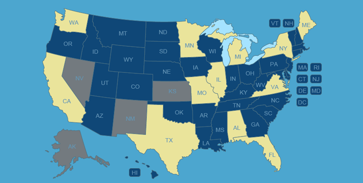
All 50 US states as separate clickable regions, ready for color, links, and tooltips.
View Plugin →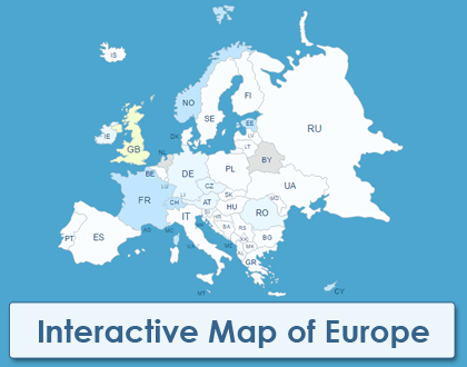
A fully clickable map of Europe with each country customizable on its own.
View Plugin →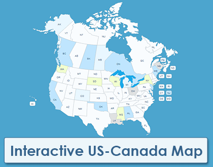
Covers the United States and Canada together in a single interactive plugin.
View Plugin →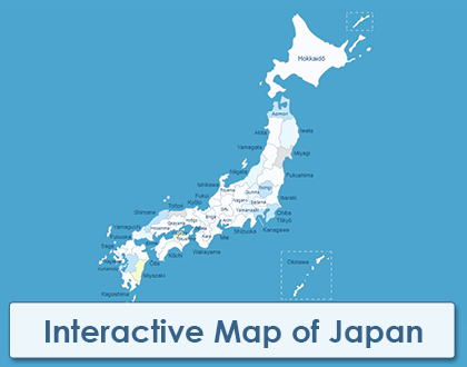
Japan's regions, individually clickable and styled to match your site.
View Plugin →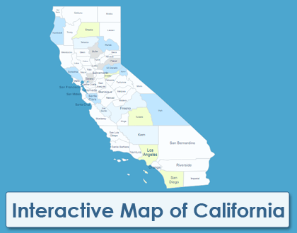
A detailed, clickable map of California ready to customize county by county.
View Plugin →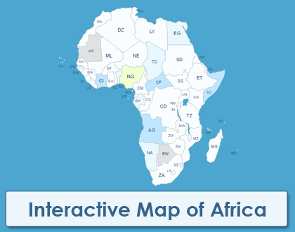
Every African country mapped individually and ready to link or color.
View Plugin →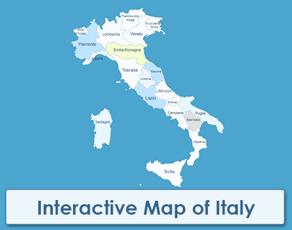
Italy's regions, fully interactive and customizable out of the box.
View Plugin →Real feedback from Envato Market customers using our plugins on their own WordPress sites.
We are so happy to have found this plugin for our site! Easy to customize without code, just add the shortcode to the post and you have a great looking map! We are linking states to page anchors and it works great.
I had several pre-sales questions and a few configuration questions. Support was fantastic... I highly suggest this plugin if you are looking for a 50 state interaction add-on to your website!
The plugin is super appropriate for our need, but what really differentiates this plugin, the customer support. A+++++ for response speed, kindness, and understanding the problem!
Every interactive map we offer, organized by region — find the one that fits your project.
View All Maps →Two ways to map the whole world — by individual country or by continent.
Map a single continent, with every country on it clickable on its own.
All Continent Maps →Individual country maps, several with a native-language version.
All 50 states available individually, or as one discounted package.
Check our partner site, HTML5InteractiveMaps.com — they offer premium JavaScript maps, including drilldown maps with clickable cities. Their maps include installable WordPress plugins, but customization is done by editing files directly rather than with a visual editor.
Visit HTML5InteractiveMaps.com →We build custom maps to your specification as freelance work. Get in touch if you're interested and we'll go from there.
Contact Us →We're happy to help :)
Have a question or need help
Send us a message — we read every one ourselves.